Abstract
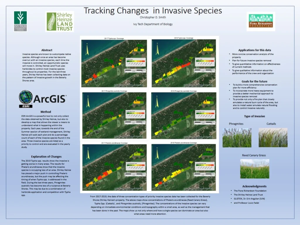
Tracking changes in invasive species through GIS-based environmental monitoring. The project examined changes in invasive wetland plant species within the Beverly Shores region between 2017 and 2019. Using ArcGIS spatial analysis and field survey data collected through the Shirley Heinze Land Trust, the study mapped concentrations of invasive species including Typha species, Phragmites australis, and reed canary grass. Comparative analysis revealed shifting patterns in invasive vegetation distribution over time, providing insight into wetland management effectiveness, habitat restoration efforts, and long-term conservation planning within sensitive coastal ecosystems.
Project Overview
his GIS-based environmental monitoring project examined the spatial distribution and progression of invasive wetland plant species within the Beverly Shores region of Indiana Dunes ecosystems between 2017 and 2019.
Methods
* ArcGIS spatial analysis
* Wetland vegetation monitoring
* Comparative temporal mapping
* Species concentration classification
* Field survey integration
Research Focus
* Invasive species dynamics
* Wetland ecology
* Conservation management
* Environmental
* GIS
* Habitat restoration
Organizations Involved
* Ivy Tech Community College
* Shirley Heinze Land Trust
* Flora Richardson Foundation
* GLISTEN Program