Curiosity and Exploration
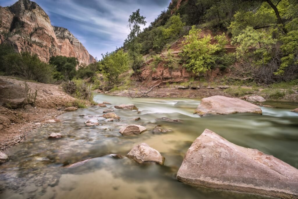
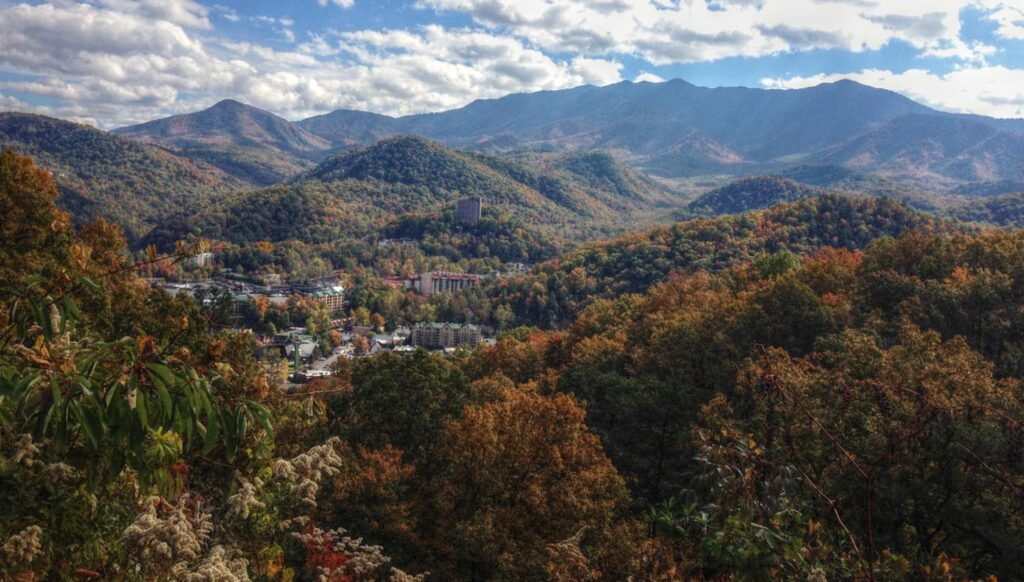
Why I take photographs in the field started as curiosity; I would always explore areas, even as a kid. I loved traveling and seeing new areas. But I wasn’t being a tourist; I was learning about the area. Why is it different? What has shaped the area? I would go out of my way to mingle and learn more about the community and its people. Most of my photos over the years are off the beaten path and not from tourist areas. I would hike just to see what was around the next bend in the trail, follow old railway grades through forgotten landscapes, drive down roads that weren’t on the itinerary, or spend hours exploring places that rarely appeared in guidebooks.
Most people visit a place looking for what they expect to find. They search for landmarks, famous views, and photographs they have already seen online. I was usually interested in everything around those places. The side streets, the people, the forgotten landscapes, and the stories that didn’t make it into travel brochures. I wanted to understand why a place was the way it was, not simply check it off a list.
Looking Beyond the Obvious
As my interest in photography grew, I became influenced by landscape photographers such as Joe Cornish. What drew me to his work was not simply the quality of the images but the thoughtfulness behind them. His photographs encouraged me to slow down, pay closer attention to the landscape, and think more carefully about what I was trying to capture. Photography became less about taking a picture and more about understanding why a place mattered in the first place.
A New Perspective from Above
That same curiosity eventually led me to drones. I can build, repair, and fly drones capable of speeds approaching 100 mph. The appeal was never simply flying them to do tricks. I wanted to reach places I couldn’t easily access on foot, see landscapes from a different perspective, and better understand how features connected across a larger area.
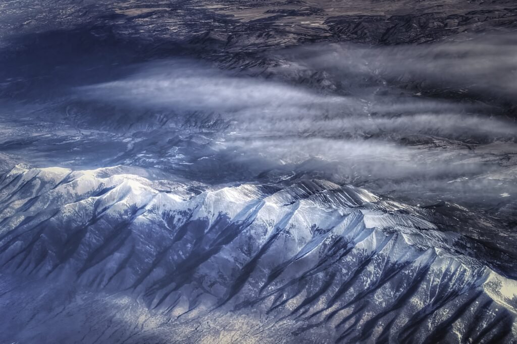
Aerial imagery offered a way to discover patterns and relationships that were difficult to recognize from the ground. Financially, I was never able to pursue that interest to the extent I had hoped. The types of drones capable of advanced mapping, remote sensing, and professional aerial photography often remained beyond my reach. Even so, the interest never disappeared. One day, I hope to revisit that path and explore what those tools can reveal.
Looking back, it is not surprising that I would eventually become interested in GIS, aerial imagery, and landscape analysis.
Photography as Documentation
Later, the camera became a tool not just to snap a shot, but a way to record a moment, history, or interaction. While living in Hawaiʻi, a camera became a tool to document social injustice and unrest throughout the islands. However, that camera went everywhere with me.
I would end up carrying that camera for the same reason I study geology. Both are ways of paying attention.
Every Landscape Has a Story
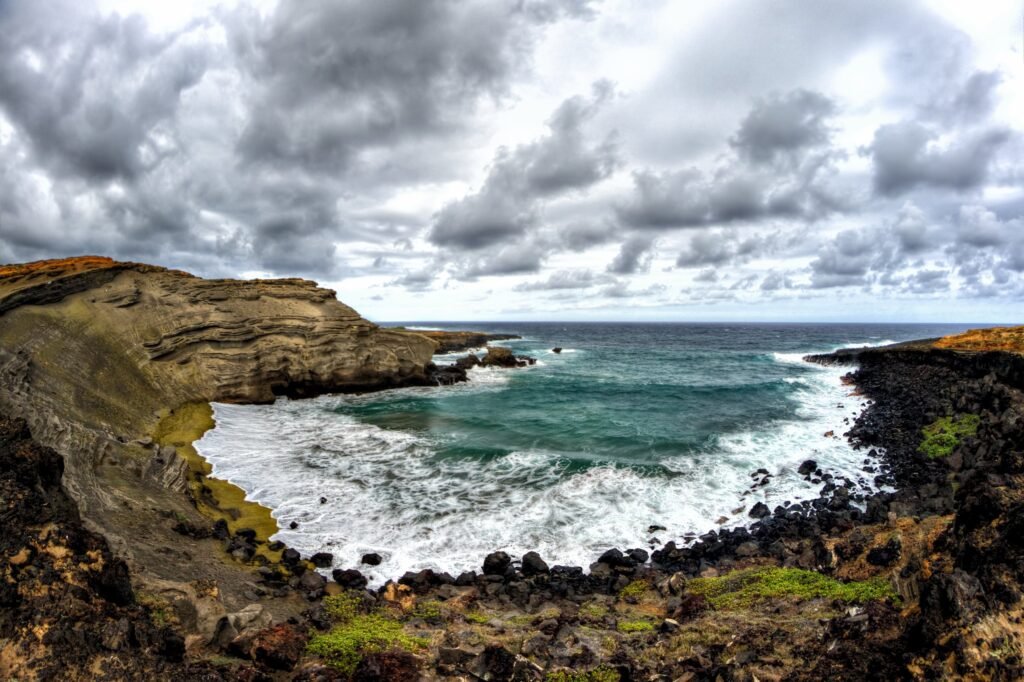
A photograph captures a moment. Geology teaches us that every moment is part of a much larger story. Over time, I realized I wasn’t carrying a camera to collect photographs. I was carrying it to collect observations. The photographs were simply the record of what I had noticed. The transformation from curiosity to discovery and documentation, then to student and researcher, may not have seemed obvious in the beginning, but the path was being forged as a child.
What Does This Photograph Teach Me?
Whether I’m standing on a beach, walking through a wetland, or exploring a city street, the camera reminds me to slow down, observe, and ask questions. I came of age during a time when photography became increasingly tied to social media. Photographs were no longer just records of places, people, or experiences. They became part of a constant search for attention, approval, and validation through likes and shares.
There is nothing inherently wrong with that. Photography has always evolved with technology. Yet I often find myself asking a different question: What does this photograph teach me?
A photograph can document a landscape before it changes. It can preserve a moment in history. It can capture an interaction, reveal a pattern, or encourage us to look more closely at the world around us. For me, the value of a photograph has never been measured by how many people see it, but by what it helps me understand.
Geology has reinforced that perspective. Every outcrop, wetland, shoreline, or city block has a story. A camera allows me to capture a small piece of that story and revisit it later. Sometimes a photograph becomes a memory. Sometimes it becomes data. Occasionally, it becomes the beginning of a question that leads to entirely new discoveries.
Learning Without a Map
In the end, that’s what learning without a map has always been about—not knowing exactly where you’re going but remaining curious enough to see what is there when you arrive.